

There are two ways to get to Canyon de Chelly - from the north or from the
south. If you take the southern route you probably are going to take US Highway
191 northward through Ganado and on to Chinle. The country is mostly somewhat
plain - low hills, either fairly bare or covered with pinion trees and
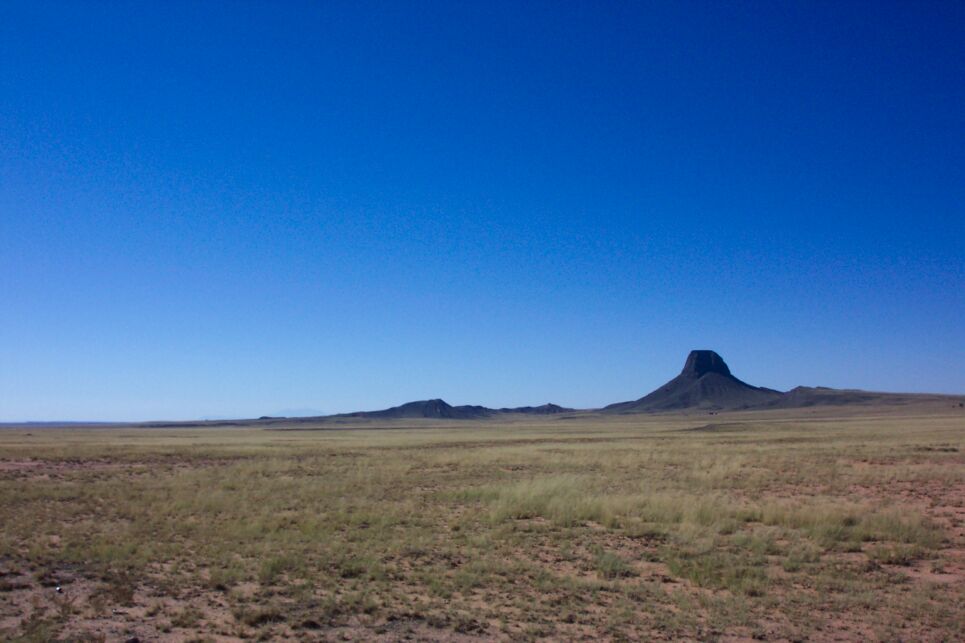
juniper. The photo below was taken 50 miles southwest of Chinle. This is
about as picturesque as it gets.
The northern route is more interesting. One of our party came from the northeast
through Shiprock, Red rock and Lukachukai. He reported gorgeous country with many
red sandstone formations. I also drove down from the north but entered Arizona on
Utah Highway 261 which runs south from Natural Bridges National Monument. Not far
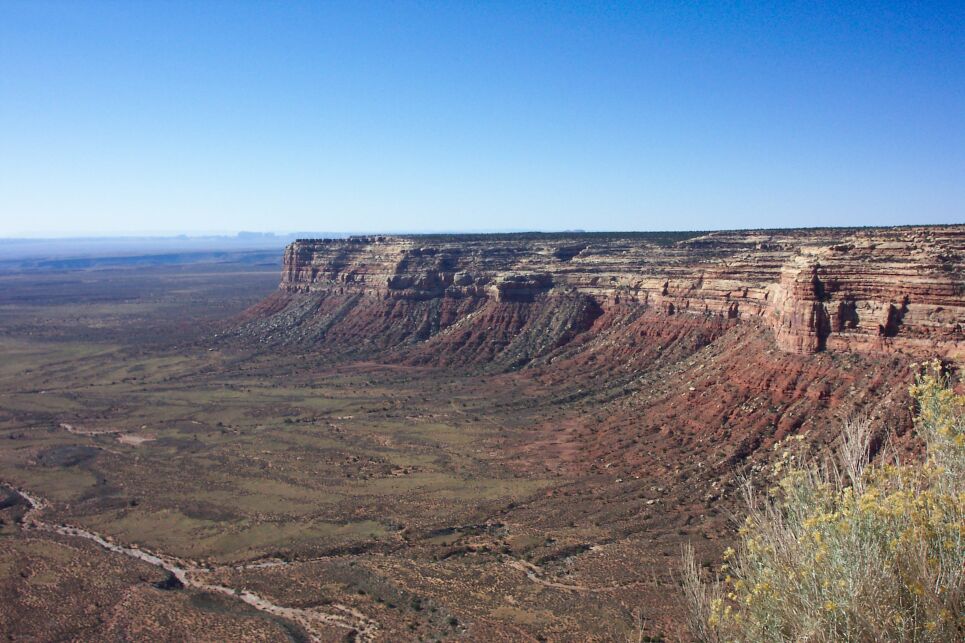
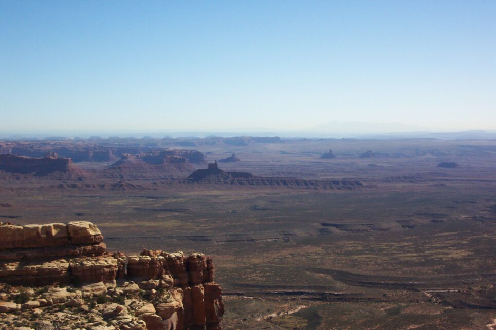
north of the San Juan River this road descends hairpin curves down a huge cliff
that must be thousands of feet in height. This portion of the road is gravel and
is posted with a sign warning the traveller to slow to 5 mph. The descent was
almost more exciting than I could bear. Two photos from the top are shown below.
One wonders at the temerity of engineers who built this road.
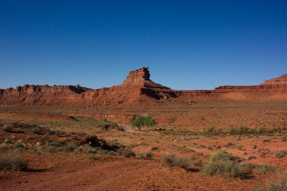
Just south of the cliff, as you drive toward the San Juan River, is an area called
The Valley of the Gods (photo below). A 10 or 12 mile long dirt road takes you through it.
It is worth a side trip. A few miles farther along, a paved road off to the right goes to
the Goosenecks National Monument. The goosenecks are meanders of the San Juan River
that cut deep into the surrounding terrain. I didn't stop there this time so there are
no photos.
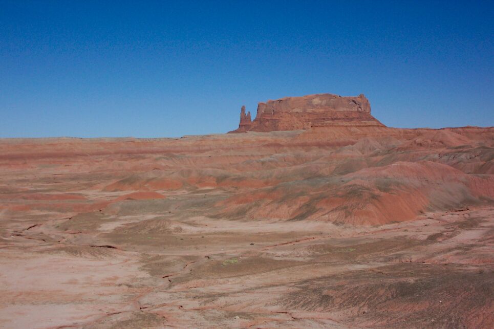
At the San Juan River you turn onto US 191 for the final leg to Chinle. Some of the
countryside here is quite beautiful (below).
 |
Return to where you left the main trail.
